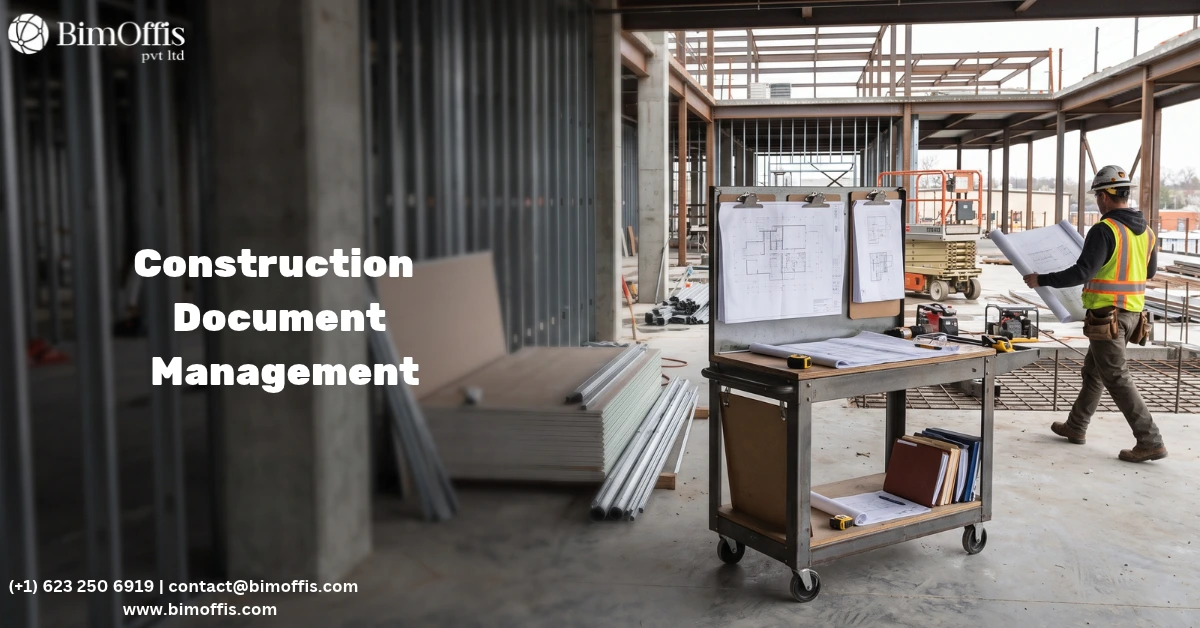
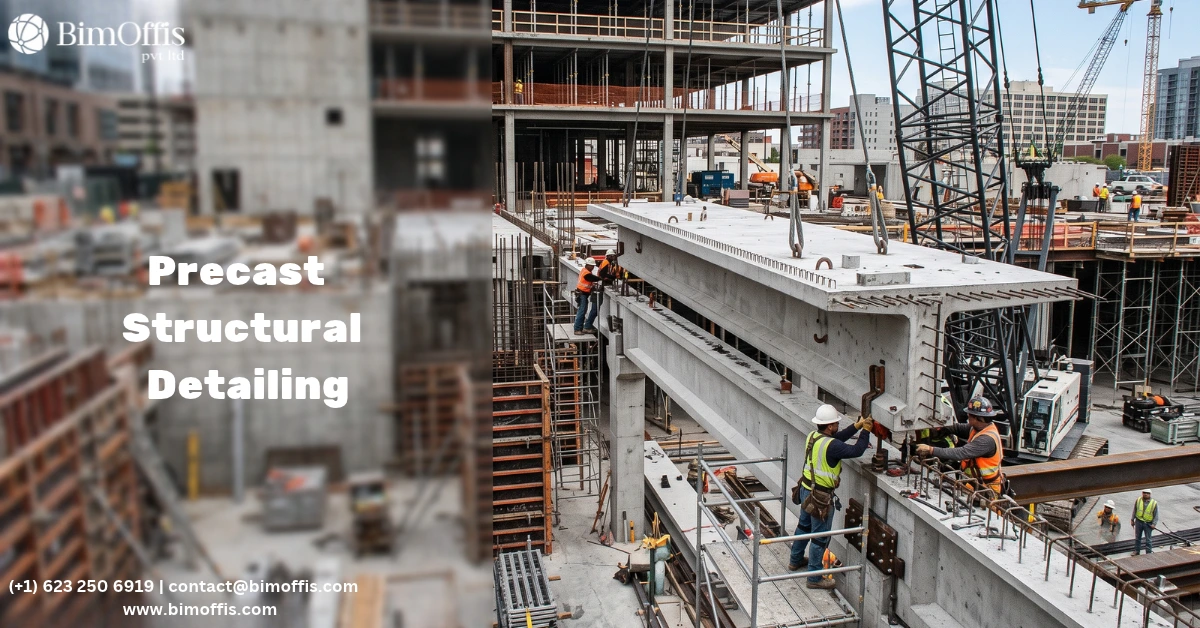
Walk onto most civil engineering job sites twenty years ago and you’d find stacks of 2D drawings pinned to a trailer wall, half of them outdated by the time the crew got to that section. Revisions came in late. Nobody was quite sure if the drainage plan matched what the structural team had drawn last week. BIM in civil engineering has largely fixed that mess. Instead of a dozen disconnected drawings, everyone works off one intelligent model that carries geometry, data, and context together, from the first rough concept sketch all the way to the as built handover.
It’s not just a software upgrade, either. It’s a genuinely different way of planning and coordinating infrastructure work. Roads, bridges, water networks, rail corridors, these all involve several disciplines working the same patch of ground, sometimes at the exact same time, and BIM finally gives them a shared reference point instead of separate silos that only talk to each other in weekly coordination meetings.
What BIM Actually Means in a Civil Context
Building Information Modeling started life in the building sector, but civil engineering has bent it to fit linear, bridge infrastructure heavy work. A civil BIM model usually pulls together terrain data, utility networks, drainage, road alignments, and structural elements into one 3D environment. And every piece of that model carries more than just shape: material specs, quantities, cost figures, construction sequencing, all baked in.
That matters a lot for civil engineers, because infrastructure projects almost never exist on their own. A new road runs into existing utilities nobody remembered were there. A bridge foundation depends on soil data and whatever’s sitting nearby. BIM connects all these dependencies, visually and numerically, so clashes show up on a screen during design instead of under an excavator on site.
Key Uses of BIM in Civil Engineering
Site Analysis and Terrain Modeling
Before any real design work starts, engineers need an honest picture of the site as it actually sits. BIM tools pull in survey data, LiDAR scans, and GIS layers to build detailed terrain models, so engineers can test grading and drainage options against real topography rather than a flat, approximate site plan that glosses over the slope nobody accounted for.
Clash Detection and Coordination
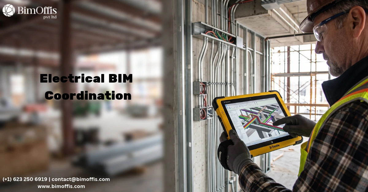
Utilities, structural elements, and drainage systems overlap constantly on infrastructure jobs. Running clash detection inside the model catches these problems weeks or months before a construction crew hits an unmarked pipe or lines up a foundation slightly wrong. Honestly, this one use case alone tends to pay for the whole BIM investment on a mid to large project.
Quantity Takeoffs and Cost Estimation
Since the model stores actual quantities for every element, estimators can pull material takeoffs straight from it instead of measuring drawings by hand. And when the design changes, which it always does, the quantities and costs shift with it automatically, instead of someone remembering to redo the spreadsheet.
Construction Sequencing (4D BIM)
Adding a time axis to the model lets teams simulate how construction will actually unfold before anyone breaks ground. Contractors get to see how a highway interchange or a multi phase drainage job will build out in real sequence, which surfaces logistics headaches, traffic management issues, and scheduling conflicts while they’re still cheap to fix.
Asset Management and Facility Handover
Once construction wraps, the model doesn’t just get archived and forgotten. Owners and facility managers keep using the as built BIM data for years afterward, tracking maintenance schedules, warranty details, and lifecycle costs on roads, bridges, and utility networks long after the ribbon cutting.
Popular BIM Tools for Civil Engineering
A handful of platforms dominate civil BIM work, and which one fits depends a lot on the project:
- Autodesk Civil 3D is still the go to for road design, grading, and corridor modeling, especially if the firm is already in the Autodesk ecosystem.
- Bentley OpenRoads and OpenBridge handle bigger infrastructure jobs well, particularly transportation and bridge work with complex alignments.
- Autodesk InfraWorks is built for early conceptual design and stakeholder visualization, good for testing alternatives before anyone commits to detailed design.
- Navisworks pulls models from multiple disciplines together for clash detection and construction simulation.
- Trimble Business Center ties field survey data straight into the BIM workflow, which tightens the loop between design and what’s actually happening on site.
Project scale, discipline mix, and whatever the client or regulatory authority expects for deliverables usually decide which tool makes sense.
BIM Standards Civil Engineers Should Know
Standards keep things consistent when multiple firms and disciplines are working off the same model. A few worth knowing:
ISO 19650
The international framework for managing information across the whole lifecycle of a built asset using BIM, covering how information gets organized, exchanged, and stored at each stage.
PAS 1192
Mostly replaced by ISO 19650 now but still referenced on plenty of projects, it laid the groundwork for a lot of UK based BIM information management practice.
National CAD Standard (NCS)
In the US, this governs layering conventions, symbols, and drawing organization, still relevant even inside a model based workflow.
Level of Development (LOD)
These specifications spell out how much detail and reliability a model element should carry at each stage, so nobody’s over modeling in early design or under modeling right before construction.
None of this is just about ticking a compliance box. It gives everyone (designers, contractors, owners) the same understanding of what the model actually represents at any given point.
Why This Matters Going Forward
Budgets are tight, timelines keep shrinking, and clients don’t have much patience left for surprises during construction. BIM in civil engineering hits all three of those pressures at once: catching problems earlier, keeping cost data accurate, and giving everyone visibility into the same model instead of a pile of conflicting drawing sets.
Firms still sitting on the sidelines are starting to feel it during bidding, since a growing number of public infrastructure contracts now require BIM deliverables just to qualify. Learning these tools and standards isn’t really a competitive edge anymore, it’s closer to table stakes for staying in the game.
Improve civil engineering projects with accurate BIM models, better coordination, and standards-driven workflows for smarter infrastructure delivery.
Frequently Asked Questions from Clients
What is BIM in civil engineering?
BIM in civil engineering creates an intelligent 3D model that integrates terrain, utilities, roads, drainage, and structural elements.
How is BIM used in civil engineering?
BIM is used for terrain modeling, clash detection, quantity takeoffs, cost estimation, construction sequencing, and asset management.
How does BIM improve civil engineering project coordination?
BIM provides a shared model that helps different disciplines identify and resolve design conflicts before construction.
What are the main BIM tools used in civil engineering?
Common tools include Civil 3D, Bentley OpenRoads, OpenBridge, InfraWorks, Navisworks, and Trimble Business Center.
What BIM standards should civil engineers know?
Important standards and specifications include ISO 19650, PAS 1192, National CAD Standard, and Level of Development (LOD).
How does BIM help reduce construction costs?
BIM helps reduce costs by detecting clashes early, improving quantity accuracy, and supporting better construction planning and sequencing.